Ports and voyages
Review port calls, arrivals, departures and time in port where port data is available. Compare reported destinations with the ports identified in the vessel’s history.
Bring the vessels you follow into one workspace. See their latest reported status, compare how they move, and follow the changes behind each journey.
A dedicated workspace in the Fleet Monitor map plan.
Compare movement, distance and coverage across your vessels
| Vessel | Movement states | Distance per vessel-day | Average speed underway | Coverage |
|---|---|---|---|---|
| Meridian | Underway 43 %. At anchor 32 %. Moored 20 %. Stopped 5 %. | 184.8 nm | 14.1 kn | 100 % |
| Atlas | Underway 64 %. At anchor 18 %. Moored 15 %. Stopped 3 %. | 126.4 nm | 12.4 kn | 100 % |
| Vega | Underway 25 %. At anchor 14 %. Moored 59 %. Stopped 2 %. | 61.2 nm | 10.6 kn | 100 % |
| Orion | Underway 18 %. At anchor 22 %. Moored 53 %. Stopped 3 %. Unknown state 4 %. | 38.6 nm | 9.2 kn | 95 % |
Create named, colour-coded fleets for your own vessels, chartered ships or competitors. Add vessels by MMSI, preview an MMSI or IMO list before importing, or bring in your saved vessels. Give each vessel a label and role. IMO-based identity notices help you follow MMSI changes.
Compare daily distance, speed and time underway, at anchor or moored. Review reception coverage alongside the statistics, open travelled tracks and stops on the map, and follow destination, draught and position changes in the activity feed.
Use 7, 30 or 90 days, or all recorded data, for fleet statistics. Missing reports and estimated periods stay visible.
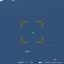
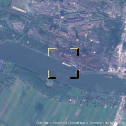
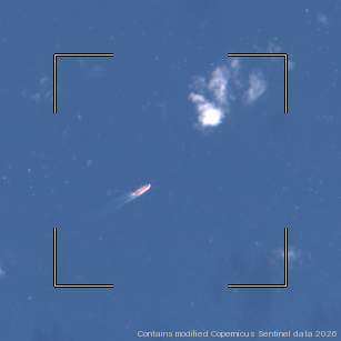
Review port calls, arrivals, departures and time in port where port data is available. Compare reported destinations with the ports identified in the vessel’s history.
Where there are enough recorded voyages, see a next-port prediction and how closely earlier reported ETAs matched observed arrivals.
Follow reported draught changes. Loading-state estimates are Beta and depend on the vessel type and sufficient draught history.
Review available satellite sightings and possible ship-to-ship (STS) flags in selected monitoring areas. Where offered, open image chips and request an automatic hull check, labelled Beta.
Choose a zone and create an entry or exit alert for the fleet’s vessels. Review which current members an alert covers and update it when your fleet changes.
Open your fleets in the dashboard, or compare the Fleet Monitor map plan with the other vessel monitoring options.